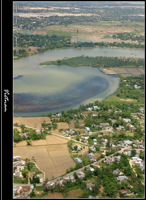
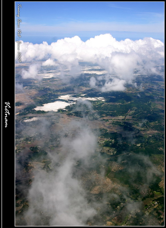
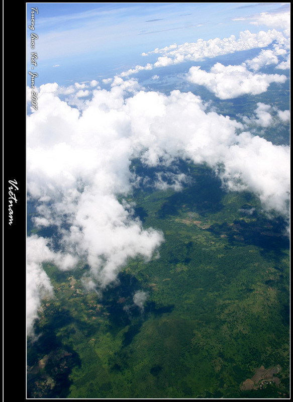
Vietnam extends approximately 331,688 km² (128,066 sq mi) in area. The area of the country running along its international boundaries is 4,639 km (2,883 mi). The topography consists of hills and densely forested mountains, with level land covering no more than 20%. Mountains account for 40% of the area, with smaller hills accounting for 40% and tropical forests 42%. The northern part of the country consists mostly of highlands and the Red River Delta. Phan Xi Păng, located in Lào Cai province, is the highest mountain in Vietnam at 3,143 m (10,312 ft). The south is divided into coastal lowlands, Annamite Chain peaks, extensive forests, and poor soil. Comprising five relatively flat plateaus of basalt soil, the highlands account for 16% of the country's arable land and 22% of its total forested land.
The delta of the Red River (also known as the Sông Hồng), a flat, triangular region of 3,000 square kilometers, is smaller but more intensely developed and more densely populated than the Mekong River Delta. Once an inlet of the Gulf of Tonkin, it has been filled in by the enormous alluvial deposits of the rivers over a period of millennia, and it advances one hundred meters into the Gulf annually. The Mekong delta, covering about 40,000 square kilometers, is a low-level plain not more than three meters above sea level at any point and criss-crossed by a maze of canals and rivers. So much sediment is carried by the Mekong's various branches and tributaries that the delta advances sixty to eighty meters into the sea every year.
(Main article: Geography of Vietnam)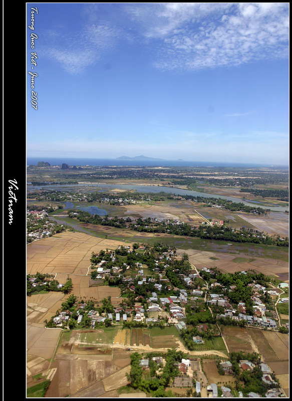
Thursday, May 31, 2007
Vietnam from above 1
![]()
Subscribe to:
Post Comments (Atom)
No comments:
Post a Comment